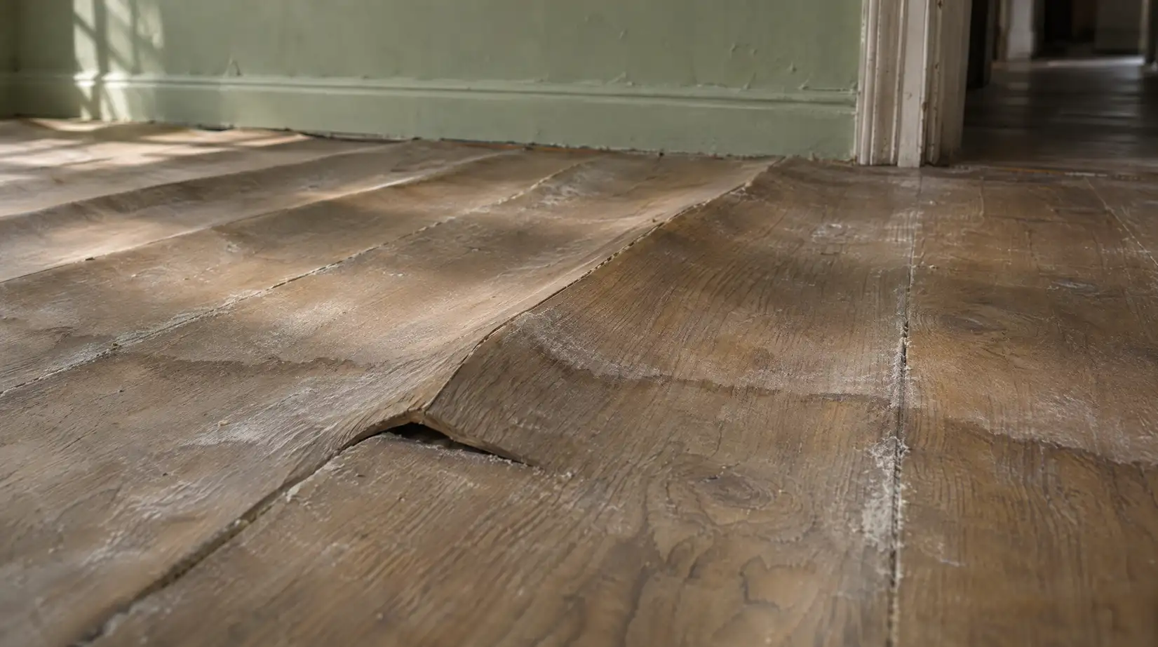
Is My House in a Flood Zone? Check FEMA Maps Free
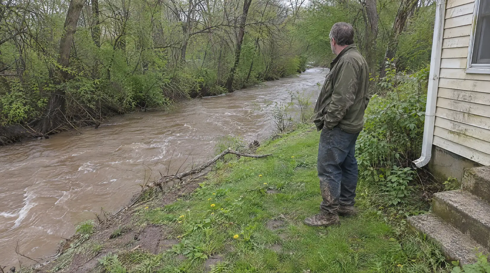
November 19, 2026
Written by Taylor Bezek
Share


Even in areas FEMA rates as low or moderate flood risk, you are 5 times more likely to experience a flood than a fire in your home over the next 30 years, according to FEMA’s Map Service Center. That same center lets you look up your zone in a few minutes. The zone letter it returns drives lender requirements, and it does not tell you whether your specific property can flood.
Key Takeaways
- Official lookup tool: FEMA’s Flood Map Service Center is the official public source for flood hazard information.
- High-risk zone letters: FEMA maps zones beginning with the letter A or V as Special Flood Hazard Areas.
- Risk threshold: Special Flood Hazard Areas carry at least a 1-percent annual chance of flooding.
- Lender rule: Federally regulated lenders must require flood insurance on mortgages for properties in a Special Flood Hazard Area.
- Pricing change: Under Risk Rating 2.0, flood zones are no longer used to calculate an NFIP premium.
- Map revision timeline: A Physical Map Revision can take as long as 18 months to complete.
How to Look Up Your Flood Zone on the FEMA Map Service Center
Run an Address Search
The FEMA Flood Map Service Center (MSC) is the official public source for flood hazard information. Its Search By Address page accepts an address, a place name, or coordinates [1]. The Address Search finds the current effective Flood Insurance Rate Map (FIRM) or Flood Hazard Boundary Map (FHBM) for that location, and you can save or print the result [1].
Read the Results and Print a FIRMette
The results page displays flood hazard data directly, and you can print a FIRMette from the effective map [2]. Copy the FIRM panel number from the results (06037C1610F is one example of the format), open Search All Products, find the panel by Product ID, and choose “View” [1]. FEMA no longer offers flood hazard mapping products in hard copy or on disc, so every product is a free download from the MSC [1].
What “Unmapped” and “Non-Printed Panel” Mean
An “unmapped” result means FEMA has not published a flood map for the area [1]. A “non-printed panel” result means no physical FIRM panel was printed for the area; the area appears only on the FIRM Index Map for reference [1].
Flood Zone Letters Explained: A, AE, V, X, B and C
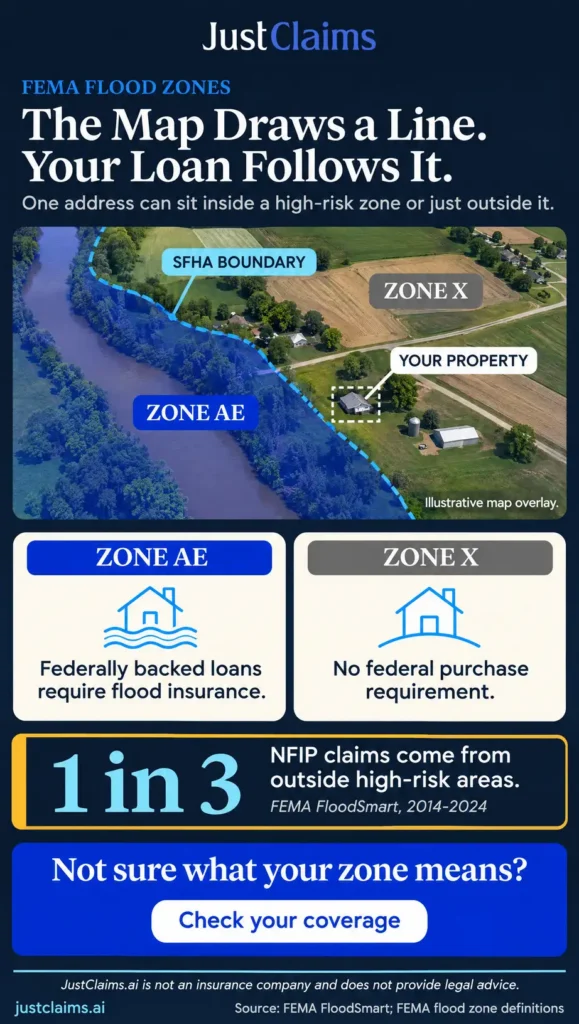
Once the search returns a result, the zone letter drives lender requirements and coverage decisions, so reading it correctly matters. FEMA labels Special Flood Hazard Areas (SFHAs) as Zone A, AO, AH, A1-A30, AE, A99, AR, V, VE and V1-V30, and these areas have at least a 1-percent annual chance of flooding [3]. FEMA maps SFHAs as zones beginning with the letter A or V. FloodSmart sorts the remaining letters into a low-risk group (B and X) and a moderate-risk group (C and X) [4].
| Zone letters | Risk group | What it means |
|---|---|---|
| A and AE (also AO, AH, A1-A30, A99, AR) | High risk, SFHA | At least a 1-percent annual chance of flooding [3] |
| V and VE (also V1-V30) | Coastal high risk, SFHA | FEMA lists these as SFHA zones beginning with V; FloodSmart tracks coastal high risk as a separate group [3][4] |
| B, C and X | Lower risk, non-SFHA | Zone B covers lesser hazards, including areas protected by levees from 100-year floods; Zone C and Zone X are minimal hazard, usually above the 500-year flood level [4] |
FloodSmart, the NFIP site, groups zones into low risk (B and X), moderate risk (C and X), high risk (A), and coastal high risk (V and VE) [4]. A lower-risk letter is not an all-clear: most homeowners insurance excludes flood damage, so coverage is worth pricing even outside a high-risk zone [5].
Lender and Mandatory Flood Insurance Purchase Rules
Because the zone letter decides whether a lender can require coverage, it also determines whether flood insurance is optional for you or a condition of your loan.
When Flood Insurance Is Required
The Special Flood Hazard Area is also where the mandatory purchase of flood insurance applies [6]. Under the Flood Disaster Protection Act of 1973, people who buy, build or improve property in an identified SFHA within a participating community must buy flood insurance when they receive any type of direct or indirect federal financial assistance, such as a loan, grant, guaranty, insurance, payment, subsidy or disaster assistance [6].
By law and regulation, federal agencies, federally regulated lenders, and government-sponsored enterprises must require SFHA property owners to buy flood insurance as a condition of any mortgage they make, guarantee, or purchase [7].
What Lenders Must Do
When a triggering event occurs on a designated loan, the lender must comply with the mandatory purchase requirement and give the borrower a Notice of Special Flood Hazards. The lender must also notify FEMA or its designee in writing of the identity of the loan servicer, and must escrow flood insurance premiums for a loan secured by residential property unless either the lender or the loan qualifies for an exception [8]. The purchase requirement applies only to structures in an SFHA where flood insurance is available under the NFIP [8].
How Much Coverage and Which Policy Types
The minimum a lender must require is the lesser of the loan’s outstanding principal balance or the maximum limit of coverage available for that type of property under the Act. A national bank or federal savings association must accept private flood insurance that meets the regulatory definition [9]. For the current NFIP limits by property type, see maximum flood insurance coverage.
Flood Zone Changes and Remapping
Because lender requirements follow the map, a remap can change your obligations even if the ground around your property has not changed.
Nationally, more than 22,000 communities participate in the NFIP [7]. FEMA says keeping flood hazard maps current is a challenge, and it can study or restudy only a limited number of communities each year because of funding constraints. It sets priorities with a cost-benefit approach, giving the highest priority to studies where development is greatest and where the maps are most outdated [10].
A Physical Map Revision (PMR) physically revises and republishes one or more map panels. A PMR is used to change flood risk zones, floodplain and/or floodway delineations, and flood elevations. It includes a community comment period and a six-month compliance period to update ordinances, and it can take as long as 18 months to complete [10]. Because a PMR can take that long, check the MSC periodically for preliminary and pending maps so you get advance notice [1].
What Your Flood Zone Does to Insurance Cost
Zone letters still matter for insurance, but the way they matter has shifted, and that affects how you read any quote.
Under FEMA’s Risk Rating 2.0, flood zones are no longer used in calculating a property’s premium. Premiums are based on the specific features of the individual property [11]. The zone still affects insurance through the mortgage requirement: if a property is in an SFHA, the owner must buy flood insurance to get a federally backed mortgage, and lenders use FIRMs to make that determination [11].
Since the HFIAA reforms and before Risk Rating 2.0, NFIP average premiums increased between 6% and 11% per year [11]. FEMA’s Risk Rating 2.0 FAQ puts the average annual premium for Pre-FIRM discounted policies at $2,400, and says some premiums will go up, some will go down, and some will stay about the same compared with prior premiums [12].
A lower-risk zone does not mean no flood risk. From 2014 to 2024, almost one-third of NFIP flood claims came from areas outside high-risk flood areas.[5] To see what a policy does and does not pay for, read what flood insurance covers.
What to Do If You Disagree With Your Flood Map
If you believe the map misstates your risk, the revision process gives you formal channels to raise the issue.
A Letter of Map Revision (LOMR) allows FEMA to revise flood hazard information on an NFIP map by letter without physically revising and reprinting the entire map panel. A LOMR is requested through the community, which adopts the revised flood hazard information into its floodplain management ordinances [10].
To follow a PMR, a LOMR, or another revision, start with your community’s floodplain management official. That office keeps the community’s flood hazard maps and Flood Insurance Study report and works with FEMA through the revision process [10].
Frequently Asked Questions
Am I in a flood zone?
Search your address on FEMA’s Map Service Center and read the zone letter it returns [1]. A zone beginning with A or V is a Special Flood Hazard Area, which carries at least a 1-percent annual chance of flooding and triggers the federal mortgage requirement [3][6]. A B, C or X result is lower risk, but it is not a guarantee that the property cannot flood [5].
Can I check my flood zone for free?
Yes. FEMA’s Flood Map Service Center lets anyone search by address, place, or coordinates at no charge [1]. Every mapping product it offers is a free download, since FEMA no longer offers flood hazard mapping products in hard copy or on disc [1].
What is the difference between Zone AE and Zone X?
Zone AE falls inside the Special Flood Hazard Area and carries at least a 1-percent annual chance of flooding [3]. Zone X is a non-SFHA zone that FloodSmart describes as an area of minimal flood hazard, usually depicted as above the 500-year flood level [4].
Do I need flood insurance if my house is in Zone X?
The federal mandatory purchase rule applies in Special Flood Hazard Areas, and Zone X is outside them [6]. Flood insurance is still worth pricing in lower-risk areas, since most homeowners insurance excludes flood damage [5].
Does my flood zone set my flood insurance premium?
Not for NFIP policies under Risk Rating 2.0. Premiums now reflect the features of the individual property rather than the zone letter [11]. The zone still matters because an SFHA location triggers the mortgage requirement [11].
How long does a flood map change take?
It depends on the method. A Physical Map Revision can run as long as 18 months, and it includes a community comment period plus a six-month window for adopting ordinance updates [10]. A Letter of Map Revision handles a narrower change to the effective map [10].
How to Act on Your Flood Zone Result
Start with an address search on FEMA’s Map Service Center and save the result for your records [1]. If the zone is in the A or V group, expect your lender to require coverage and plan for the escrowed premium [8]. If it is in B, C or X, treat the letter as one input rather than a verdict, since flood claims also come from lower-risk zones [5]. If you believe the map is wrong, contact your community’s floodplain management official about the revision options [10].
For help after a loss, see flood damage insurance claim assistance. If a flood claim is denied or underpaid, upload your policy for a free AI coverage review with Justin to see the coverage language and flag likely gaps.
This content is for informational purposes only and does not constitute legal or insurance advice. Coverage decisions depend on the specific terms, conditions, and exclusions of each policy and the laws of the applicable jurisdiction; policyholders and contractors should consult with a qualified professional for advice on their particular situation.
Sources
[1] How to Use the Map Service Center — FEMA
[2] FIRMette — FEMA Map Service Center
[3] Flood Zones — FEMA Glossary
[4] What Is My Flood Zone? — FloodSmart (NFIP)
[5] What Is My Flood Risk? — FloodSmart (NFIP)
[6] Mandatory Purchase — FEMA Glossary
[7] National Flood Insurance Program: Selected Issues — Congressional Research Service
[8] Interagency Questions and Answers Regarding Flood Insurance — Federal Reserve Board
[9] Loans in Areas Having Special Flood Hazards (12 CFR Part 22) — eCFR
[10] Process to Revise a Flood Map — FEMA
[11] Risk Rating 2.0 and NFIP Premiums (IN11777) — Congressional Research Service

Taylor Bezek

As the General Manager at JustClaims, Taylor Bezek brings over a decade of experience managing complex residential, commercial, and large-loss claims. A licensed Public Adjuster in TX (#2125659), FL (#W455048), CO (#769172), and 10 additional states, Taylor founded his own firm before joining JustClaims to scale a tech-forward solution for the insured. He is committed to combining industry expertise with AI to enhance speed, clarity, and outcomes for every policyholder. Taylor's mission is to modernize the public adjusting profession and ensure owners get exactly what they are entitled to.